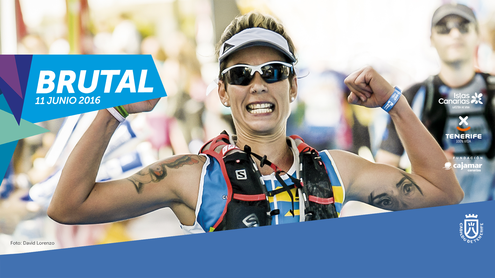
THIS year’s annual Tenerife Bluetrail mountain race, organised by the Cabildo and taking place on Wednesday, 11th June 2016, has attracted more than 1,500 confirmed runners.
Runners will test their limits, going from sea level up to 3,555m, and all the information can be found on the website tenerifebluetrail [dot] com in Spanish, English and German.
Cabildo Sports Minister Cristo Pérez, delighted with the response this year, describes the Bluetrail as “a unique, special event, which covers nearly 100 gruelling kilometres, from the sandy beaches in Tenerife South, all the way up to Teide and down to the coast at Puerto de la Cruz”.
The Bluetrail offers four categories, adapted to the different levels and condition of participants. The Ultratrail mode is run over 97km (from Los Cristianos), the Trail will cover 66km (from Vilaflor), the Marathon is 43km (from La Orotava) and the Mediatrail 20km (from Los Realejos).
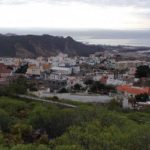
The overall finishing line will be at the Martiánez Lido, in Puerto de la Cruz.
Organisers have also included “Bluetrail Challenge”, a non-competitive trial of 8km in which runners with disabilities can take part. The test will be held on 10th June and starts from the Rambla de Castro.
Registration costs 30 euros for the Half, 45 euros for the Marathon, 60 euros for the Trail and 100 euros for the Ultra. In recent months, discounts have been applied to runners who registered before 11th April, plus 2015 participants.
Tenerife Bluetrail 2016 is sponsored by Turismo de Tenerife, Promotur and Cajamar Foundation, in association with companies such as Physiorelax, Tirma, La Molineta, Red Bull, Fonteide, Hospiten, Titsa, Isola, Volkswagen Comerciales Canarias, Cooperativa Fast, Nutrisport, QRV Emergency, Radio Club Tenerife, Tenerife Music and Linda Trophies.
Tenerife Bluetrail is a trail running event that offers five modalities with different characteristics for people with or without disabilities, designed so that mountaineers and athletes with different levels of experience and physical fitness can participate. In this way, Tenerife Bluetrail pursues a clear objective of integration: TRAIL RUNNING FOR ALL.
Tenerife Bluetrail 2016 has 5 categories
ULTRA
It is a race with 97 km.
Los Cristianos – Arona – Ifonche – Vilaflor de Chasna – Degollada de Guajara – Roques de García
– Pico Viejo – La Rambleta – Montaña Blanca – Lomo Hurtado – Degollada del Cedro – Ladera de
Tigaiga – Chanajiga – Tigaiga – El Asomadero –Mirador de la Corona– Rambla de Castro –
Puerto de La Cruz
Starting Time: Los Cristianos 0:00 h. 11th June
Finish Line: Puerto de la Cruz
Maximum Duration: 23 h.
Distance: 96,8 km
Type: Hiking path 67%, dirt track 19% y asphalt 14%
Acc. Altitude gain: 6.411 m
Acc. Altitude loss: 6.408 m
Desnivel Acumulado: 12.819 m
Altitude Departure Point: 1,19 m
Maxium Altitude: 3.555 m
TRAIL
Second race in distance with 66 km.
Vilaflor de Chasna – Degollada de Guajara – Siete Cañadas – volcanes de Arenas Negras – El Portillo – Degollada del Cedro – Ladera de Tigaiga – Chanajiga – Tigaiga – El Asomadero – Mirador de la Corona – Rambla de Castro – Puerto de La Cruz
Starting Time: 8:00 h 11th june
Calle Santa Catalina de Vilaflor
Finish Line: Puerto de la Cruz
Maximum Duration: 14 h
Distance: 66,2 km
Type: Hiking path 55%, dirt track 32% y asphalt 13%
Acc. Altitude gain: 3.252 m
Acc. Altitude loss: 4.634 m
Desnivel Acumulado: 7.886m
Altitude Departure Point: 1.387 m
Maxium Altitude: 2.520 m
MARATÓN
New category this year with 43 km.
Pista de Mamio – Caldera de Aguamansa – GR 131 Anaga Chasna – Pista Los Picachos – Pista PK 29 – Piedra de Los Pastores – Ladera de Tigaiga – Chanajiga – Tigaiga – El Asomadero – Mirador de la Corona–Rambla de Castro – Puerto de La Cruz
Start: Pista de Mamio (Aguamansa)
Uhrzeit: 8:00 Uhr 11 juni
Ziel: Puerto de la Cruz
Höchstlaufzeit: 9 Uhr
Länge: 43,18 km
Typ: Wanderweg 50%, Feldweg 29% y Asphalt 21%
Aufstieg 2.355 m
Abstieg: 3.536 m
Höhenunterschied total: 5.891 m
MEDIA
This race is 20 km long.
Plaza San Agustín – Plaza Viera y Clavijo – El Asomadero –Mirador de la Corona– Rambla de Castro – Puerto de La Cruz
Starting Time: 8:00h 11th June
Plaza de San Agustín de Los Realejos
Finish Line: Puerto de la Cruz
Maximum Duration: 4 h
Distance: 19,975 km
Type: Hiking path 32%, dirt track 18% y asphalt 50%
Acc. Altitude gain: 1.242 m
Acc. Altitude loss: 1.492 m
Desnivel Acumulado: 2.794 m
Altitude Departure Point: 255 m
Maxium Altitude: 1.092 m
RETO
This race has 5 km.